
About the study area
The Nerang River Catchment is the Gold Coast’s largest river system, with a total area of 49,329 ha.
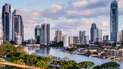
The focus of this study is on the lakes and canals of the lower Nerang River Catchment. The Study area is bounded by Nerang-Broadbeach Road to the north, Gold Coast Highway to the east, Reedy Creek Road (i.e. Burleigh Connection Road) to the south and the Motorway (M1) to the west.
The Nerang River catchment can be divided into three sub-catchments: the upper, middle and lower reaches. Its upper reaches within the McPherson Range and the Springbrook Plateau deliver water from rainfall through rural areas and into the Hinze Dam and Little Nerang Dam which provides the majority of the Gold Coast’s drinking water supply.
The Nerang River continues its course from the Hinze Dam wall, flowing approximately 36km through rural residential and agricultural land use areas, reaching its tidal limit just upstream of Weedons Crossing, Nerang.
The tidal or estuarine region of the system traverses much of its length through urban residential areas and receives runoff from the Carrara/Merrimac floodplain before joining the Broadwater and flowing into the Pacific Ocean via the Gold Coast Seaway.
The map below shows the study area hightlighted in green.

This consultation has concluded.
